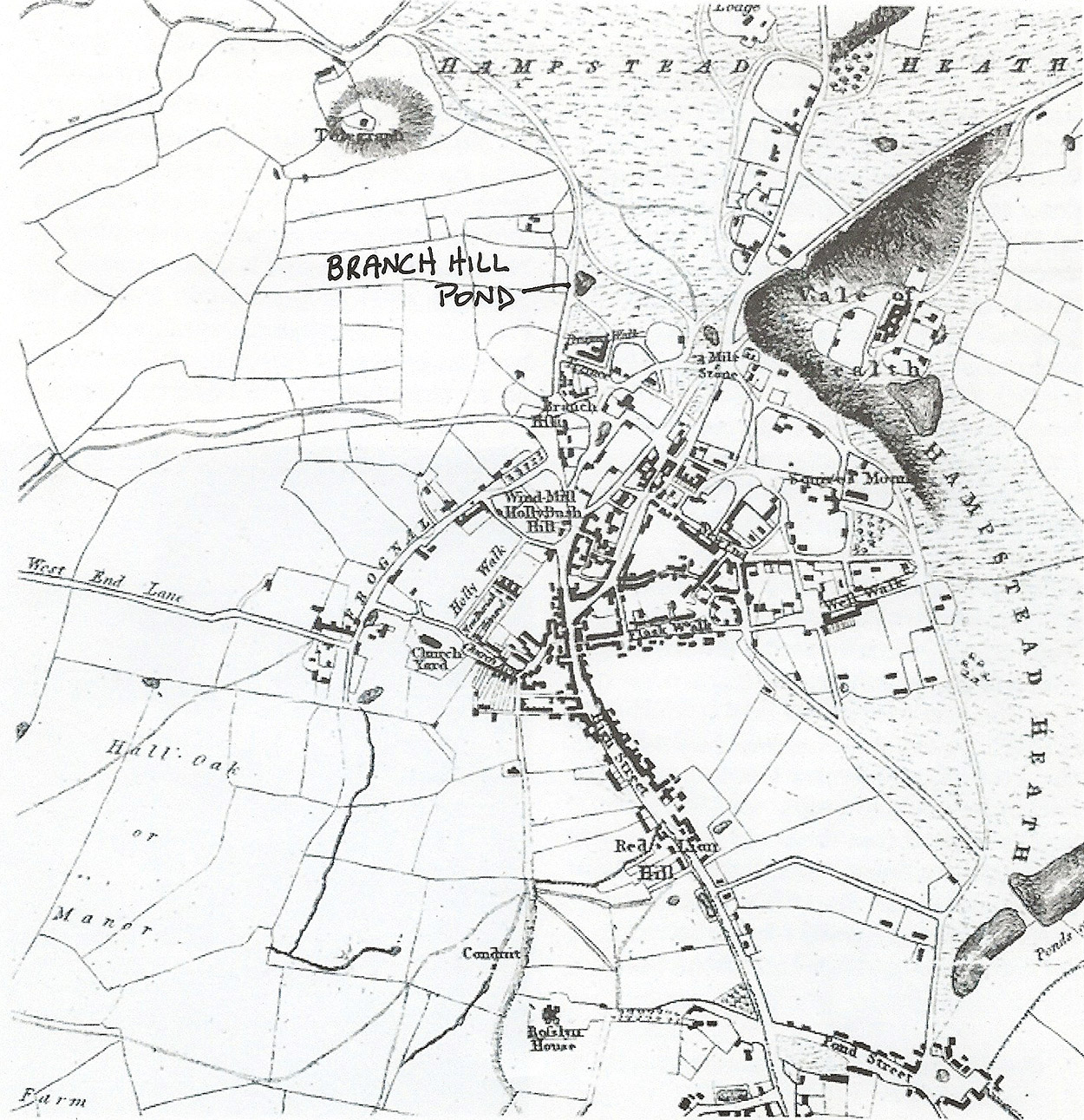
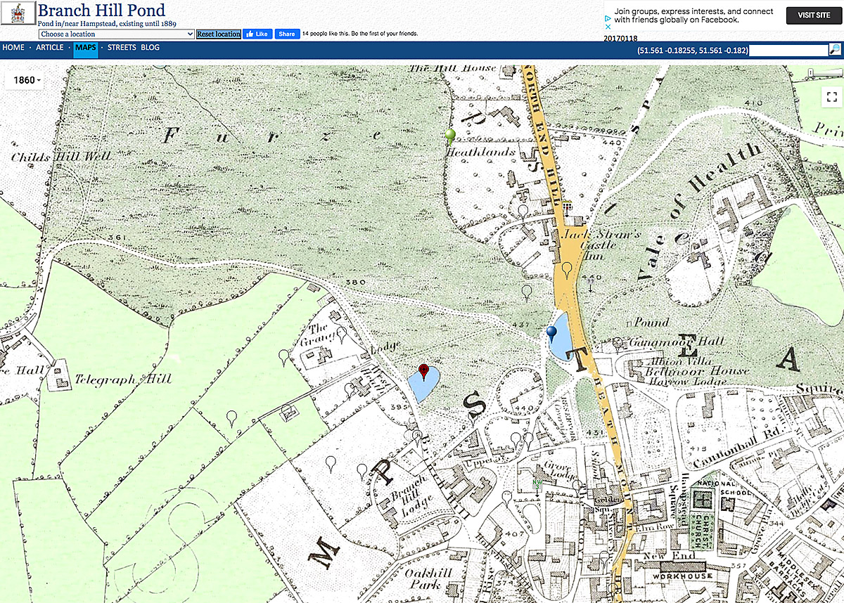
The original site of Branch Hill Pond
The site of the original pond is shown on various historic maps, eg JJ Park’s Natural History and Topography Map of Hampstead 1814, JH Colton map of The Environs of London 1860, and research by the University College London geology department. These sources all show the pond as having been at the lowest point in the site, where seasonal surface water flooding occurs during the winter months.
JJ Park 1814 Natural History and Topography of Hampstead 1814
The Environs of London, J.H. Colton, 1860
Eric Robinson, Department of Geological Sciences, University College London

To investigate the site’s ability to retain water, the geological composition of the ground was checked through detailed boreholes investigations and a full site investigation report was commissioned from Constructive Evaluation, geotechnical and geo environmental engineers:
https://www.
As a further stage, it is proposed to mark the historic route of the lost River Westbourne, which has its origins at Branch Hill. The river flowed through Kilburn and the Serpentine, beneath Knightsbridge and into the Thames by Chelsea Hospital, but has long been absorbed into London’s sewer network, as seen on the exhibition boards.